March 14, 2022
Happy Pi(e) day! Have you ever noticed how many fields have different slices of pie?
#cachecounty #c...
March 06, 2022
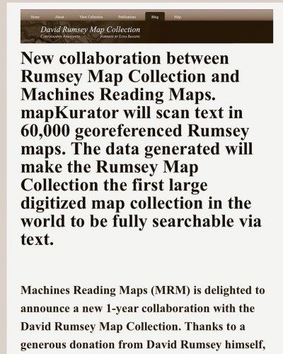
The Rumsey map collection is kicking it up a notch! Giving us the ability to search text on the map ...
March 01, 2022
A thought for the day… a map that feels appreciated will always do more than is expected! Stay Mappy!
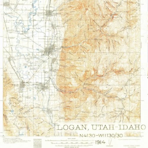
February 24, 2022
For the first time ever, you can get one of our famous 7.5-minute topographic maps centered on a pla...
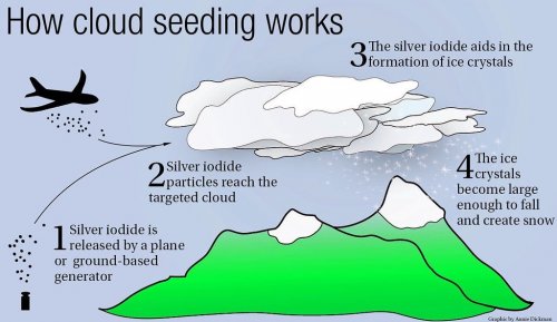
February 17, 2022
Did you know that Cache County has participated in cloud seeding almost every year since 1977? What ...
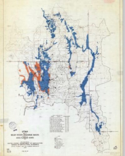
February 17, 2022
We love this 1939 Bear River Water Drainage Map! Can you count the number of tentative reservoir sit...

January 26, 2022
This is the best map collection on the internet! We use this resource for research and entertainment!

January 21, 2022
The struggle can be real! Enjoy your weekend.
#cachecountygis

January 20, 2022
From 1885 to 1955 the Sanborn Map Company created detailed maps to identify liability in the case of...
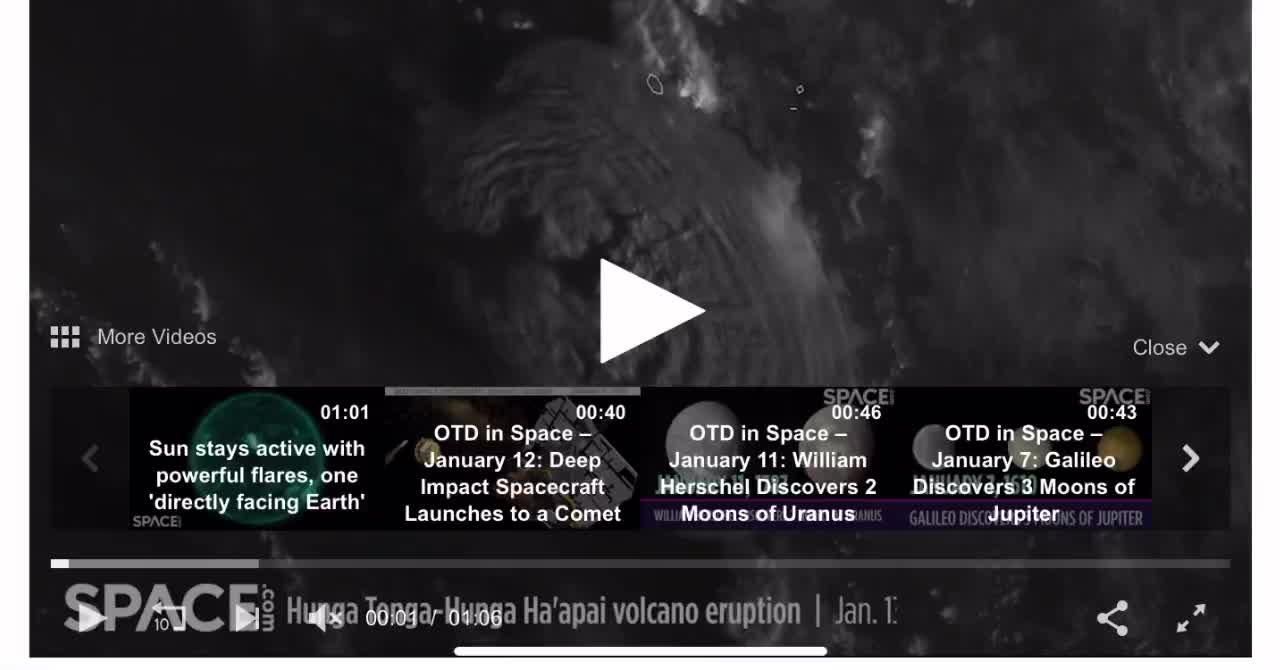
January 16, 2022
Satellites orbiting Earth captured a powerful undersea volcanic eruption from space on Thursday (Jan...
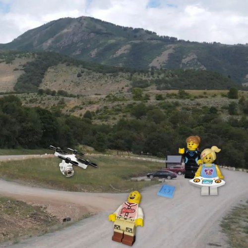
January 14, 2022
Did you know the Development Services Department and GIS Division have 3 certified Drone pilots?! A ...
January 13, 2022
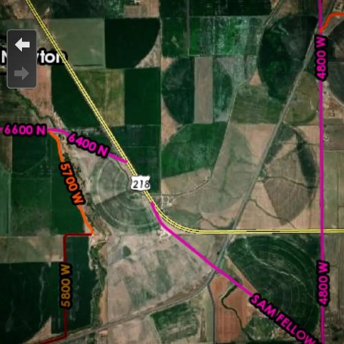
This throwback Thursday we are trying to help a gentleman find a canyon from his dad's memories. He ...
January 10, 2022
This Map Monday we wanted to highlight our survey and section corner viewer. This web map contains i...
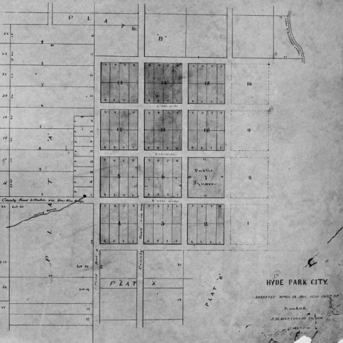
January 06, 2022
Throwback Thursday to April 1864 when James H Martineau surveyed Hyde Park City. County surveyors, ...

January 04, 2022
For training Tuesday we want to introduce one of the uses of our mailing list widget. For certain la...