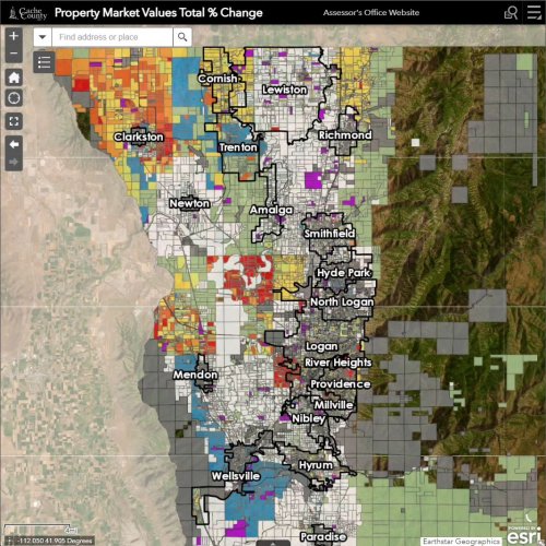
September 13, 2023
One more highlight for the Property Market Value Change Map. Truth in taxation is very important, an...
September 12, 2023
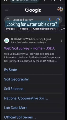
The Nibley City Engineer showed us this data from the USDA and NRCS that uses the soil types to repr...

September 01, 2023
The lovely wet winter has left some roads, especially in the mountains in rough shape. If you're enj...
August 31, 2023
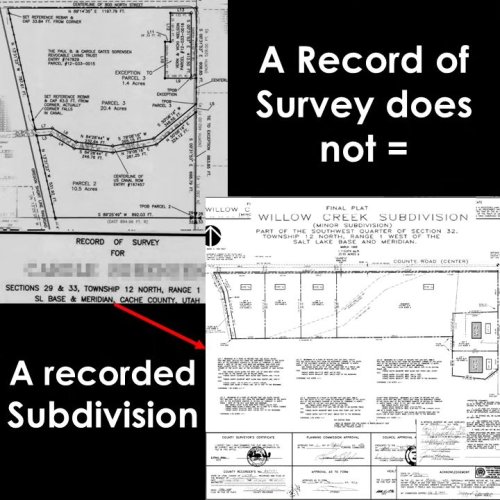
A reminder that a record of survey does not change your tax parcel boundary with another action/deed...

August 30, 2023
This property has been a popular topic the last couple of weeks. Since it keeps coming around, let u...
August 25, 2023
Can't we all just get along?! We love working for this county, but communication is definitely a str...
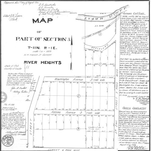
August 24, 2023
River Heights is celebrating Apple Days this week. In honor of that, check out these old subdivision...
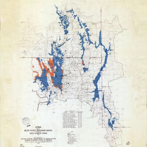
August 03, 2023
Check out this drainage and farming type map of the Bear River Drainage Basin from 1937. This awesom...
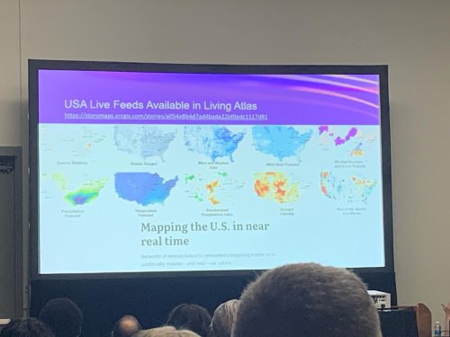
July 13, 2023
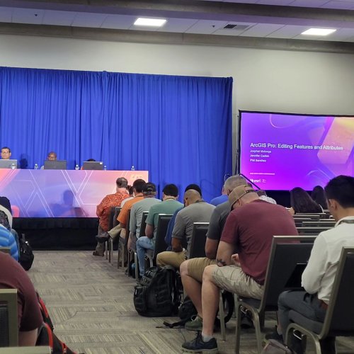
GIS is drones, live feeds and web editing. Lots of new things to think about in the world of web edi...
July 13, 2023
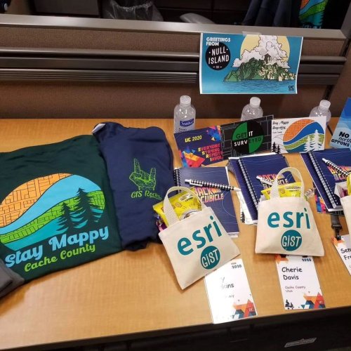
Throwback to 3 years ago when we the user conference was only online due to the sickness. We made ou...
July 13, 2023
In case you wondered the GIS department is still drinking from the firehose, that is, the ESRI user ...
July 11, 2023
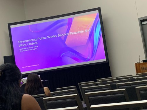
Did someone say service requests and work orders? How can GIS software solve this, we’ll find out soon!

July 11, 2023
Let the fun and training begin!
#esriuc

June 21, 2023
More colors on a parcel summary, more potential paper or problems you could have. Many of the sensit...

June 20, 2023
Have you ever wondered where the wetland data comes from? The U.S. fish and wildlife service has gre...