
September 05, 2022
Happy Labor day! For a long time we have noticed standard issue after becoming a GIS professional is...

September 02, 2022
It's definitely time to start using ArcGIS Pro on a more regular basis.
#cachecounty #cachecountygis
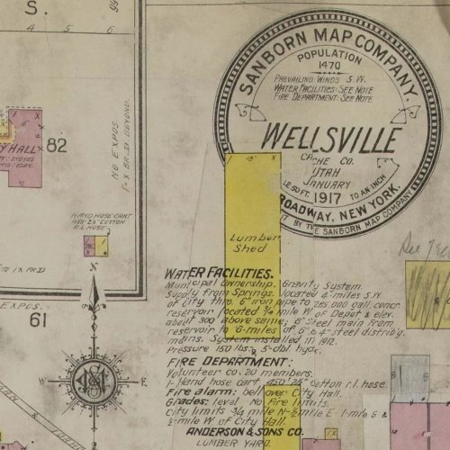
September 01, 2022
This weekend if Wellsville's city celebration! Check our this throw back to 1917 with a sandborn fir...
August 31, 2022
Meet the unicorn 🦄 widget aka Travis. This widget took some time and extending to make work but now...
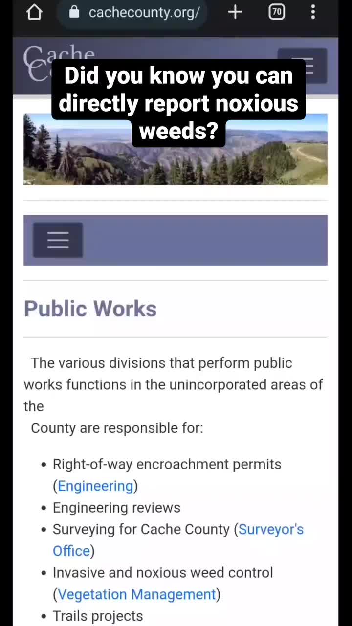
August 30, 2022
The Vegetation Management division also uses ERSIs Survey123 to let the public report noxious weeds ...

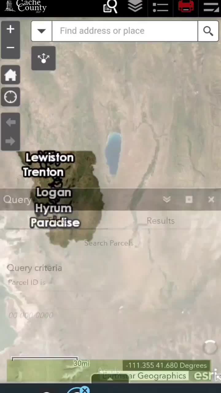
August 26, 2022
West should always be on the left. North arrows are so last century anyway. Unless otherwise noted o...
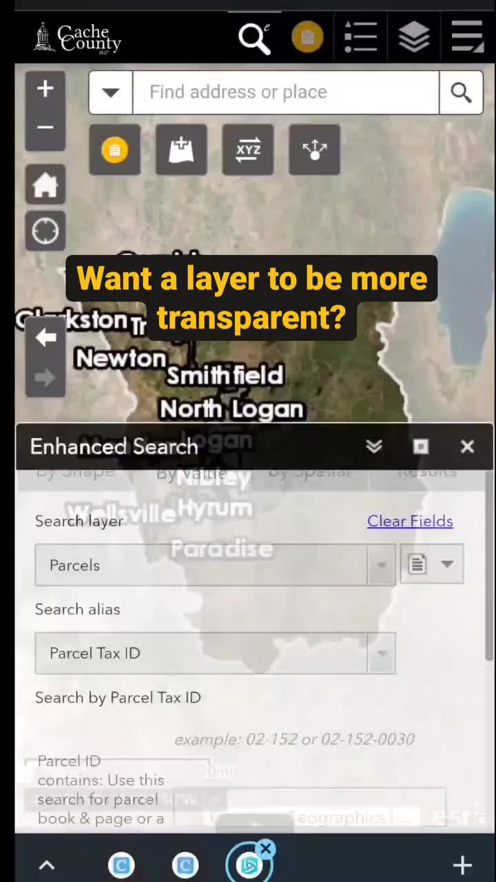
August 24, 2022
Many of our layers are slightly transparent so you can still see details of the imagery. If you want...

August 22, 2022
Ignite the light concert is tonight at the Cache County fairgrounds! Please spread and word and chec...

August 19, 2022
Land Surveyors have a ton knowledge and we have a lot of data. Collaboration helps both of us to hav...
August 18, 2022
All the digitalized data from the record of roads books for Cache County is available in our histori...
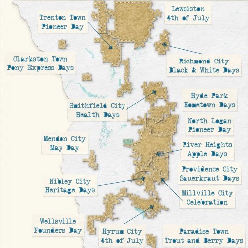
August 15, 2022
Welcome back to Map Monday! Many communities in Cache County have city celebrations from spring to f...

August 12, 2022
Happy Friday! This has been our moto since ArcGIS Pro came out but we have to start changing our tune.

August 09, 2022
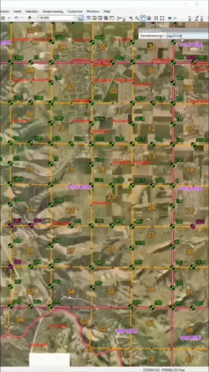
We mentioned COGO last week but want is that? COGO is an acronym for coordinate geometry, for us it ...

August 04, 2022
Throw Thrusday! Do you know what microfilm is? Microfilm is used to compactly store a copy of docume...
August 02, 2022
We have mentioned georefencing in other posts, but do you know what it means? It may seem self expla...