
January 18, 2023
Did you know that our Survey and Section Corner web viewer has data from Box Elder, Weber and Rich C...
January 17, 2023
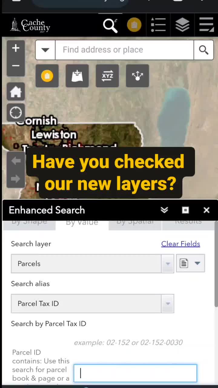
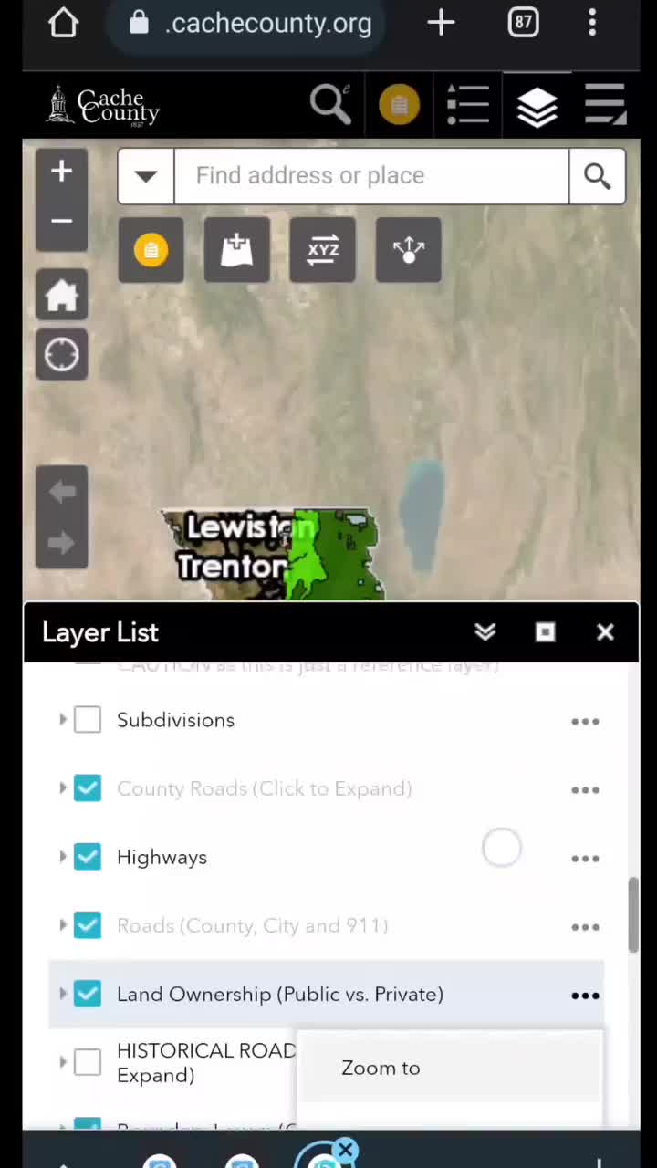
We are always trying to get more great data out. Have you seen anything new in our viewers?
January 13, 2023
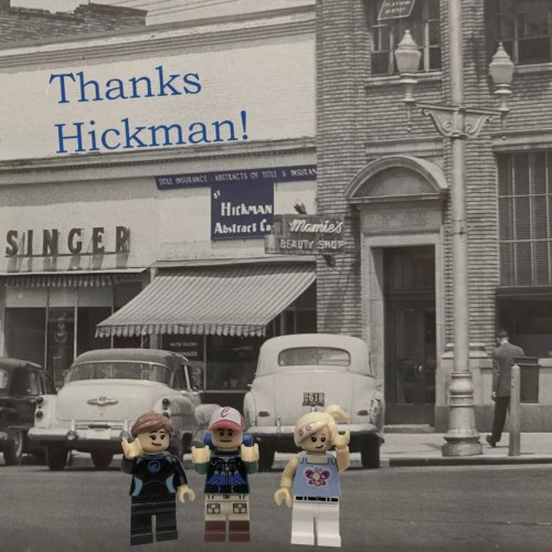
This week, the GIS team was invited to train the great folks at Hickman Title! It was great to share...
January 12, 2023
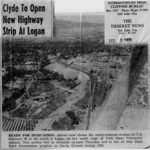
This is one of the earliest utility surveys we have seen. This map shows the Hercules Electic power ...
January 11, 2023
Did you know the attribute table widget can run statistics? Let's say you want to know how many acre...

January 06, 2023
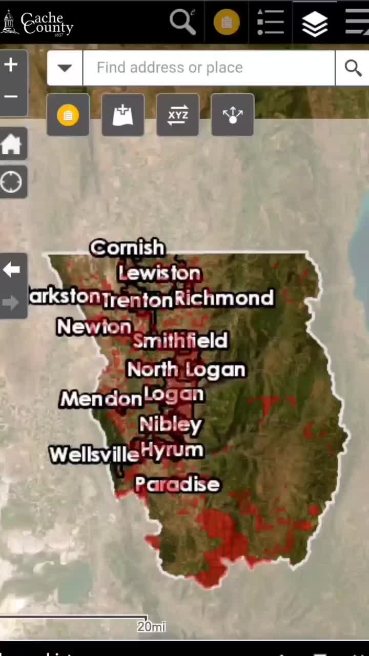
Yesterday, we talked about Utah's entrance into the Union. While looking into the sections of land t...
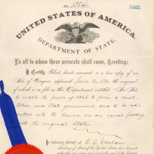
January 05, 2023
Yesterday was Utah's Statehood birthday. One of the steps to Statehood was the Federal Enabling Act ...
January 04, 2023
This has been brought to our attention that many people 👋 have been using these terms interchangeabl...
December 22, 2022
Yesterday saw Logan Canyon road with white out conditions. This is not a new problem up there. The n...
December 02, 2022
You may have noticed the Parcel map has turned red in many places. Property taxes where due November...
December 01, 2022
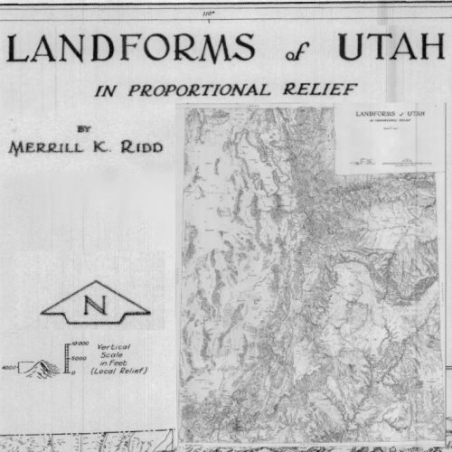
Check this awesome landform map of Utah circa 1960. Merrill K. Ridd produced this fun feat of cartog...
November 29, 2022
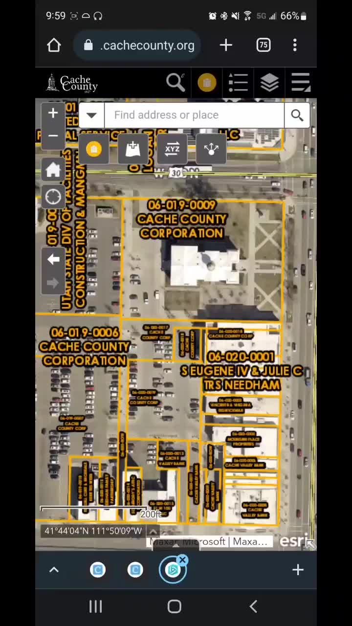
If you have bought a piece of property in Cache County and waited to see your name on the map viewer...
November 11, 2022
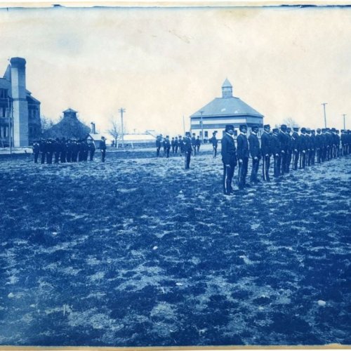
Thank you to all those that have served past and present! These photos come from USUs digital histor...
November 10, 2022
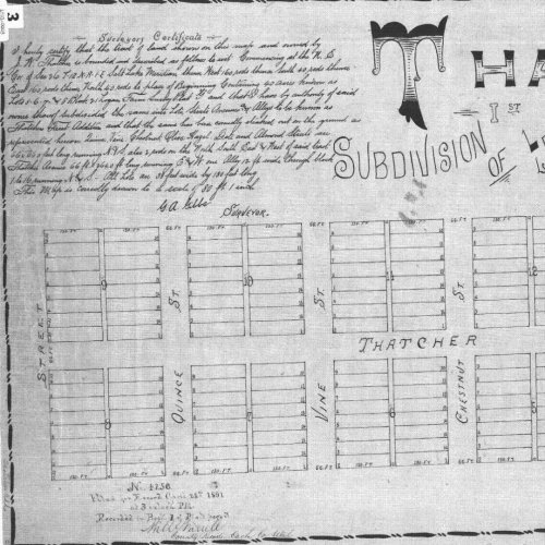
This beautiful subdivision plat was recorded in 1891. What they planned did not really come to fruit...
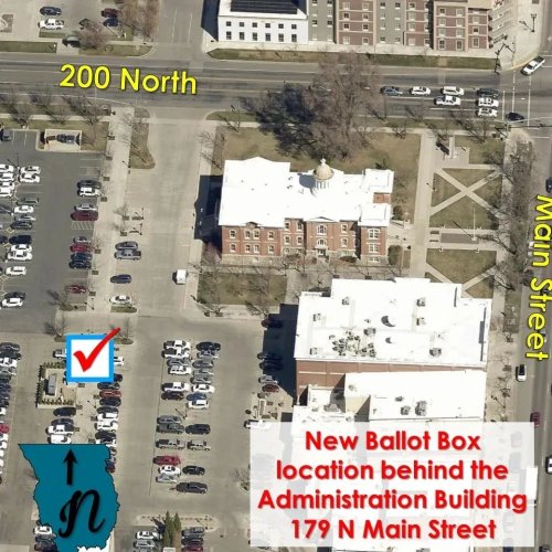
November 08, 2022
Today is the day! Voting ends today so be sure to get your ballot either to the box behind the Cache...