July 31, 2024
The first surveyors came to Cache County in 1856 to set up the Public Land Survey System. Part of th...
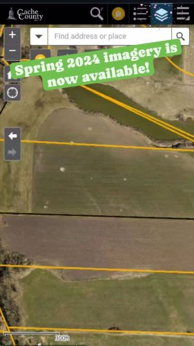
July 23, 2024
Exciting news! Our imagery provider has finished our 2024 flight! The new imagery is now available i...
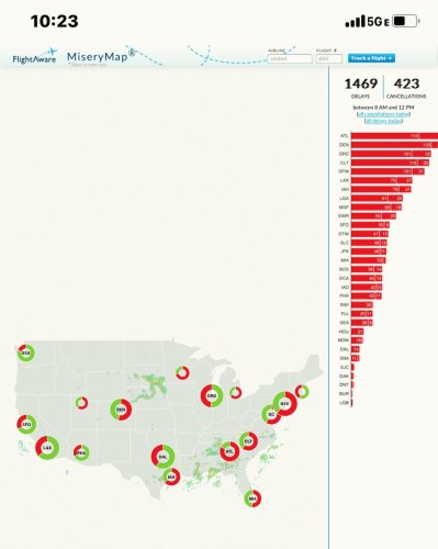
July 19, 2024
Not all maps are fun. “Misery Map” from flightaware……. Global outages!
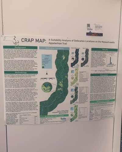
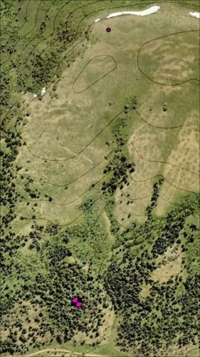
July 17, 2024
Literally a crappy map!

July 16, 2024
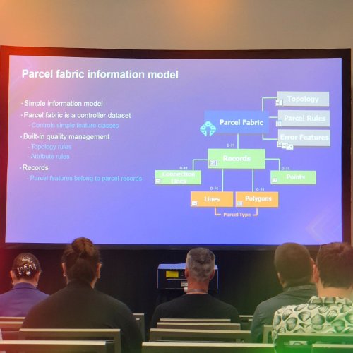
Have you ever been to a work conference and tried to find that “Gold Nugget”? Found it! Migrating da...
July 16, 2024
We are at the ESRI user conference this week learning about all the new bells and whistles our softw...
July 03, 2024
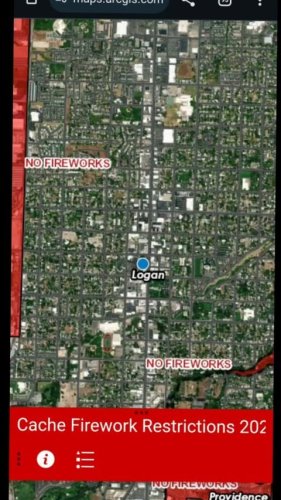
The 4th of July brings the fireworks stands to town. Have you checked if your party location has any...
June 26, 2024
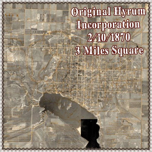
Did you know Hyrum City started a square?
In 1870, an act incorporating Hyrum City was passed into l...

May 22, 2024
Did you know uthistoricalsociety has an awesome map with cemetery locations and information? This we...
May 16, 2024
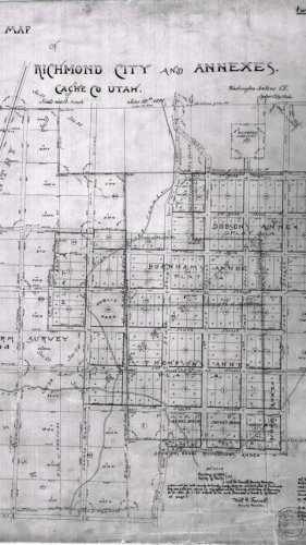
Richmond is one of our communities that was planned out before the land patents were acquired from t...

May 15, 2024
The next city to celebrate is Richmond with Black and White Days this week! Check out the parade rou...
May 09, 2024
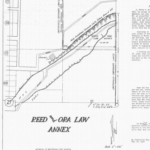
This historical annexation added land to Smithfield City back in 1958. The cartography back then is ...
May 06, 2024
Over the cold winter months, we worked with cachesheriff to compile the parade routes of the places ...

April 17, 2024
Historical imagery is a popular request. We don't have a a lot, but between our data and the UGRC ar...

April 11, 2024
Cache County has been in the process of getting funds to study the best route for a western bypass r...