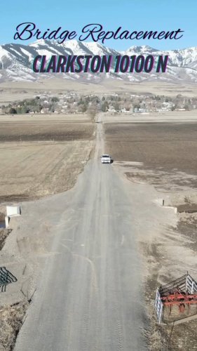
March 26, 2025
Many years of high flow put this bridge, just outside of Clarkston, in need of replacement. This win...
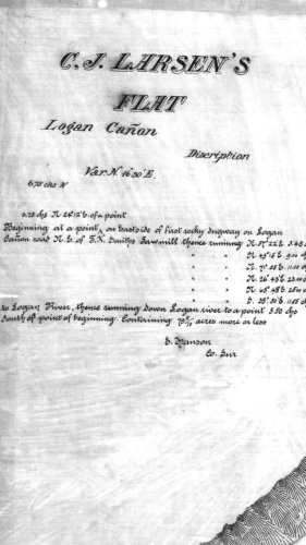
January 23, 2025
Check out this fun historic map from up Logan Canyon!

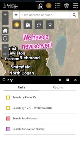
December 23, 2024
2024 was a great year for the GIS division! We welcomed a new employee, a new server, and had a few ...
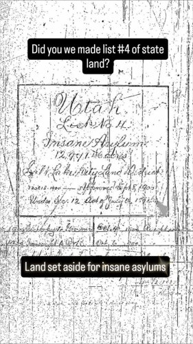
December 13, 2024
Did you know when Utah became a state 100,000 acres were set aside to fund and build insane asylums?...
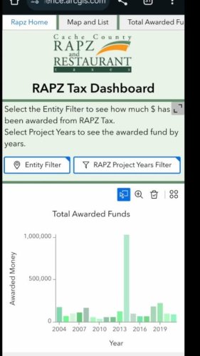
December 11, 2024
Have you ever wondered where all the RAPZ tax monies go? In addition to our project viewer that show...
December 03, 2024
This has been a popular request this month, and we think it would make a unquie holiday gift. The Bu...
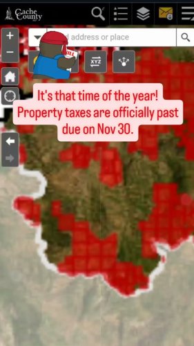
November 26, 2024
The end of property tax season is here! The treasurer asked that we share this layer a little early...
November 04, 2024
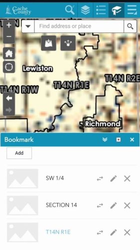
Our web maps have gone through some major changes this weekend! Delete your old browsing data or cle...
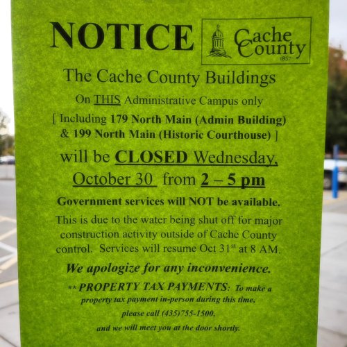
October 30, 2024
We are closed this afternoon due to no water in the buildings. Plan accordingly!
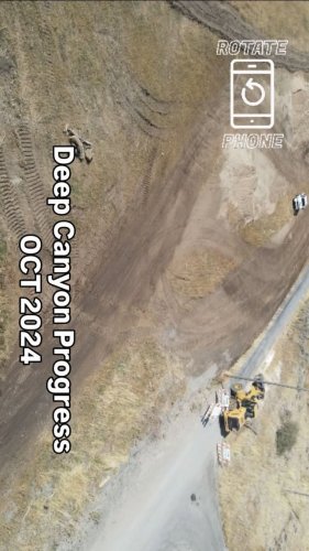
October 24, 2024
Have you noticed the great work our public works department is doing near Mendon? As part of the new...
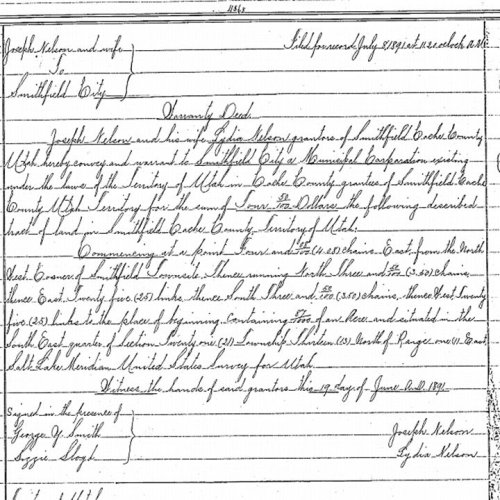
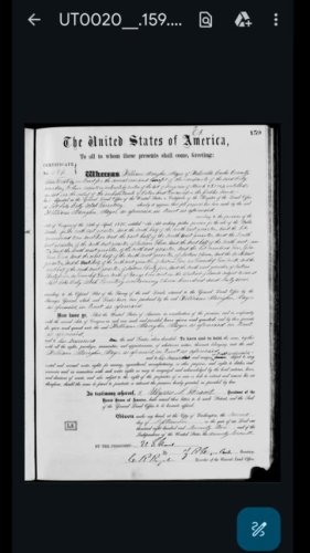
October 16, 2024
Calling the history buffs of Cache Valley. An old deed has led us down a rabbit hole. The road deed ...
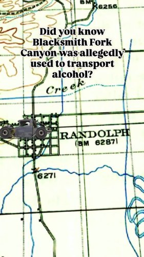
September 12, 2024
While looking to the origins of State route 101, we found an interesting article from cachevalleydai...
September 10, 2024
The system is down! We apologize for the inconvenience. Currently, we don't know why our server is n...
August 22, 2024
The legal descriptions from deeds can be fun puzzles. This document uses a wagon road as part of the...

August 06, 2024
It's time for the county fair! Head down the fairgrounds for yummy food, fun activities, and to enjo...